
Two villages to explore
Whether you are looking for slope side accommodations or a bustling downtown location, we have something for every type of traveler. With two neighborhoods to choose from, find your perfect Vail getaway.

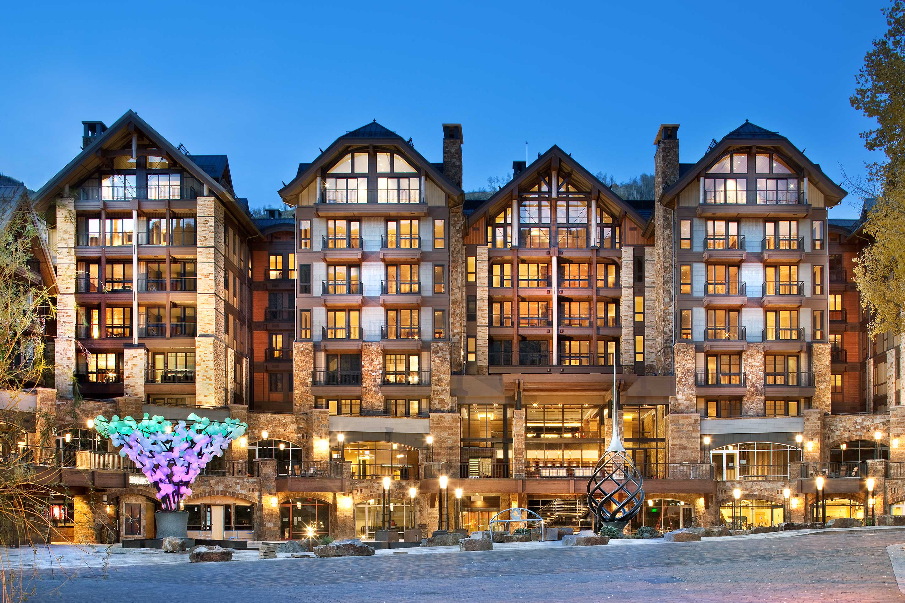
VAIL VILLAGE
Established in the 1960s, you will find Bavarian-inspired charm around every corner. From old-world restaurants to internationally renowned shopping, experience upscale conveniences seamlessly blended with Vail’s original ski town atmosphere.
-
Walk to Gondola One
-
Shopping, dining and nightlife
-
Special events and festivals

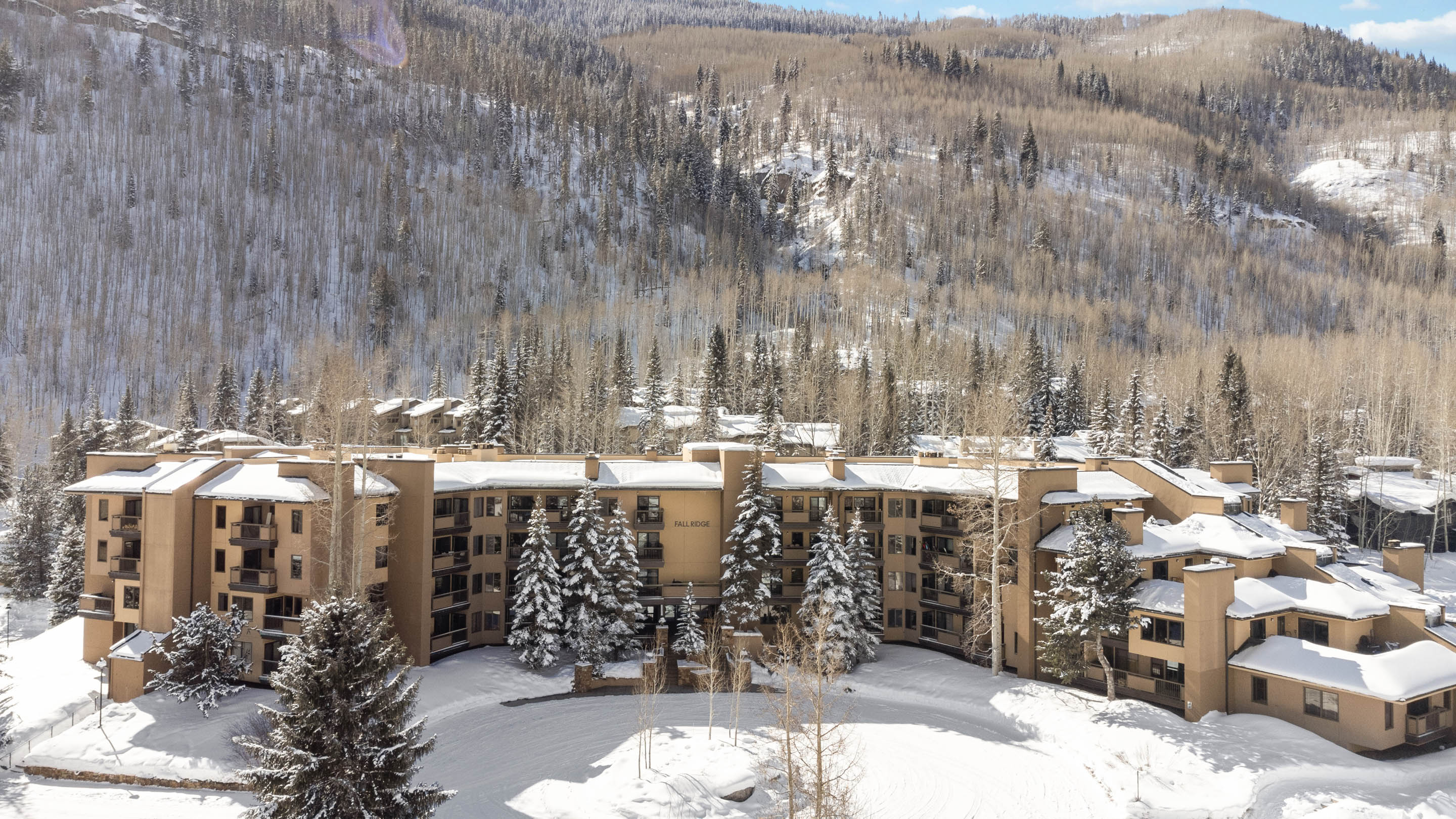
LIONSHEAD VILLAGE
Lionshead is a family-friendly environment with activities, shops, and dining. Lionshead Village was remodeled in the early 2000s to create a more modern counterpoint to the Bavarian atmosphere in Vail Village. Walk, bike or take the in-town bus to explore both villages.
-
Walk to Eagle Bahn Gondola
-
Playground, mini golf, and winter ice rink
-
Shopping and dining


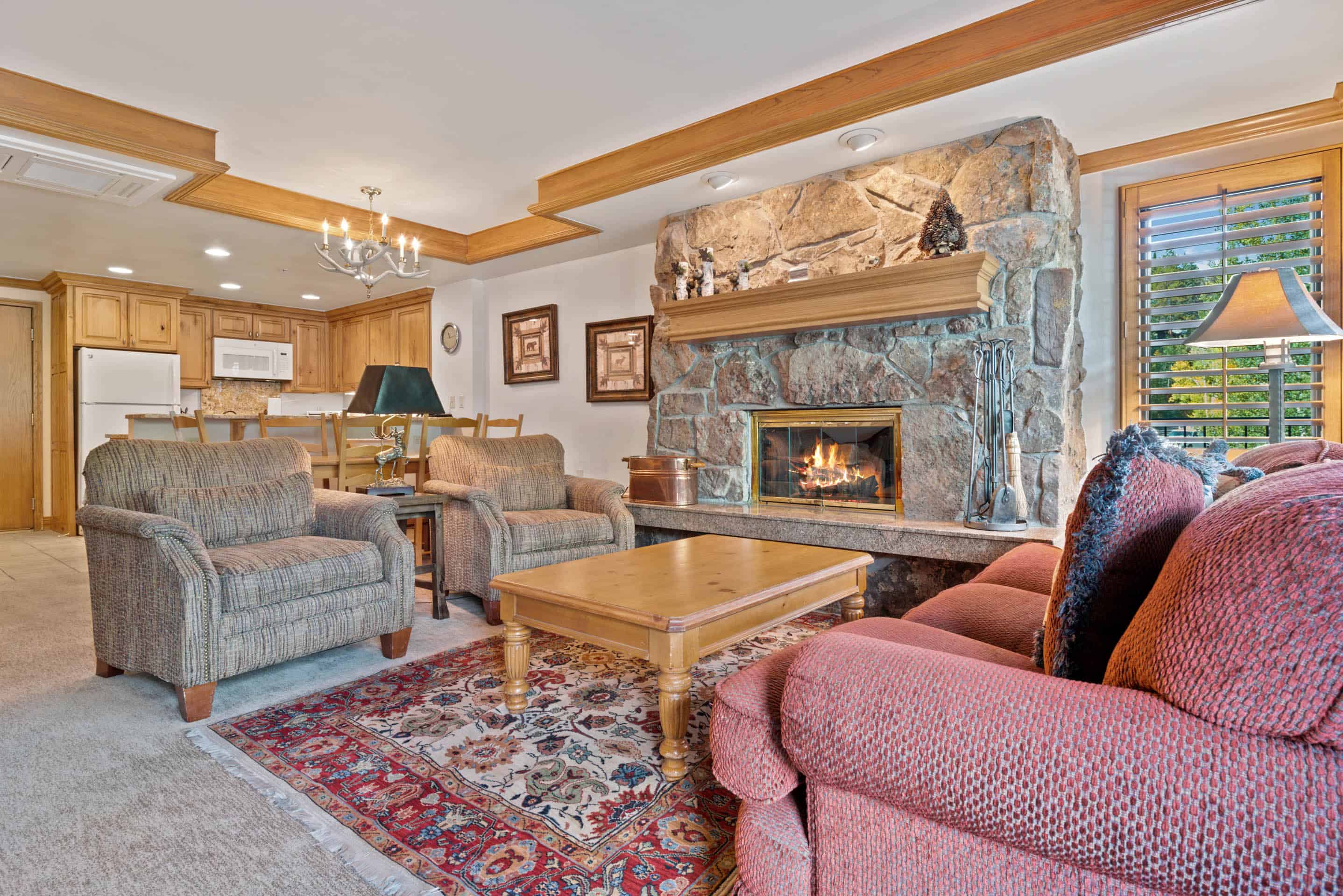
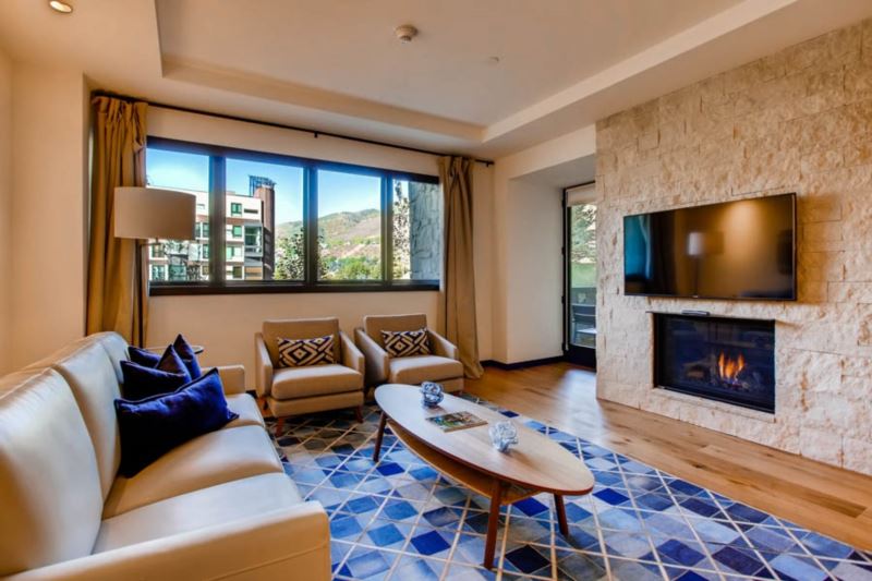
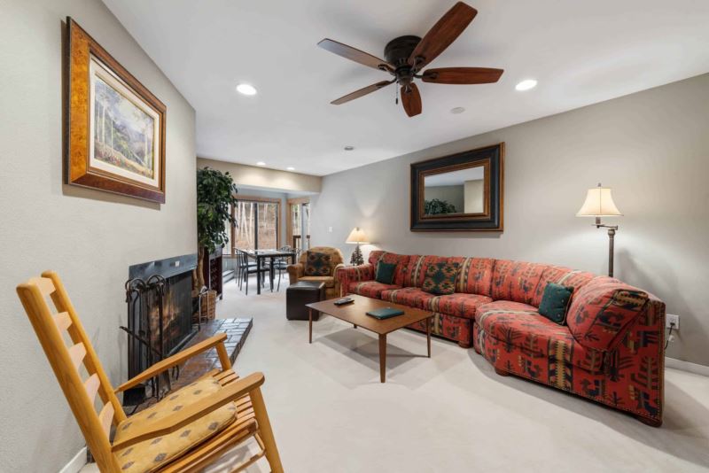
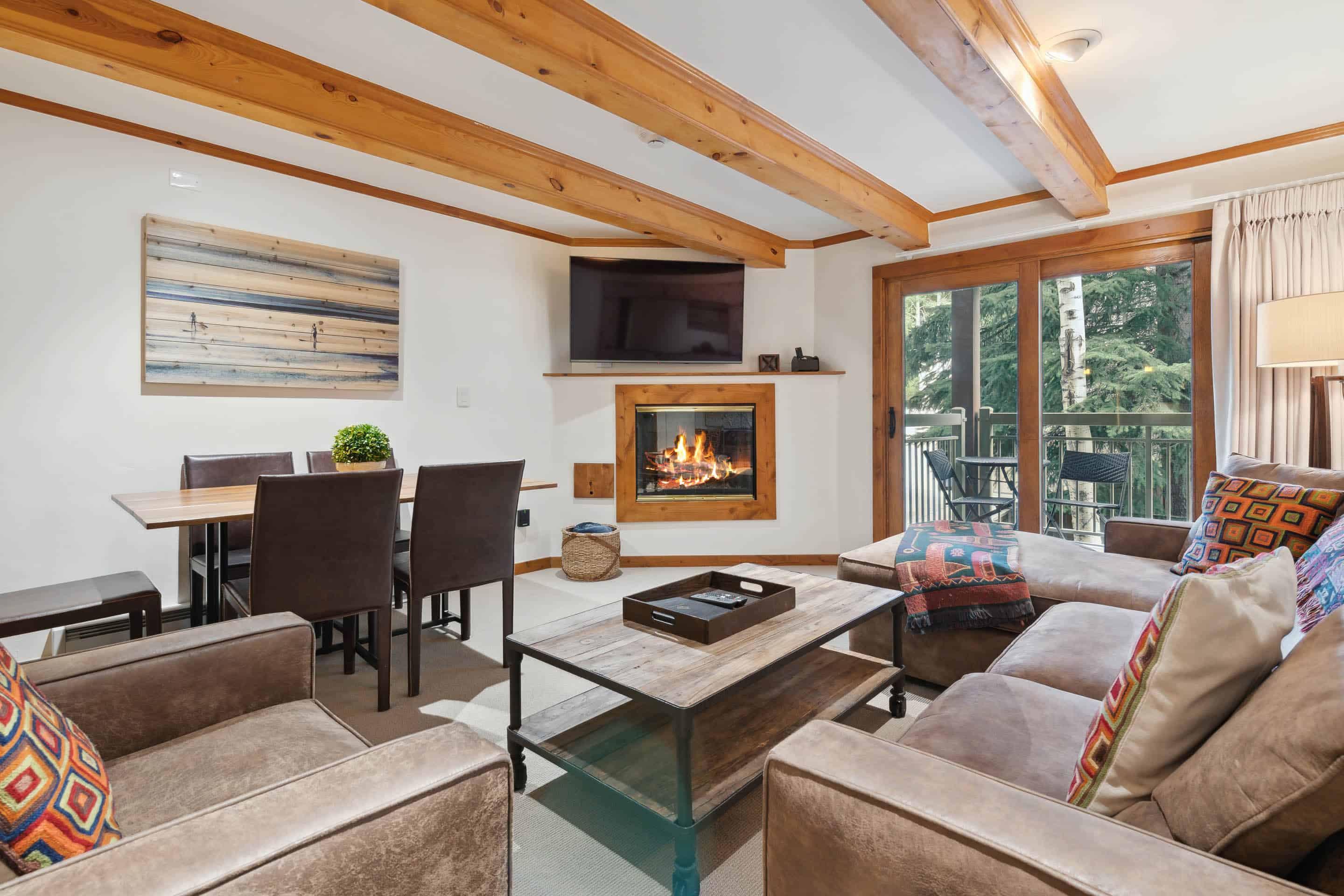
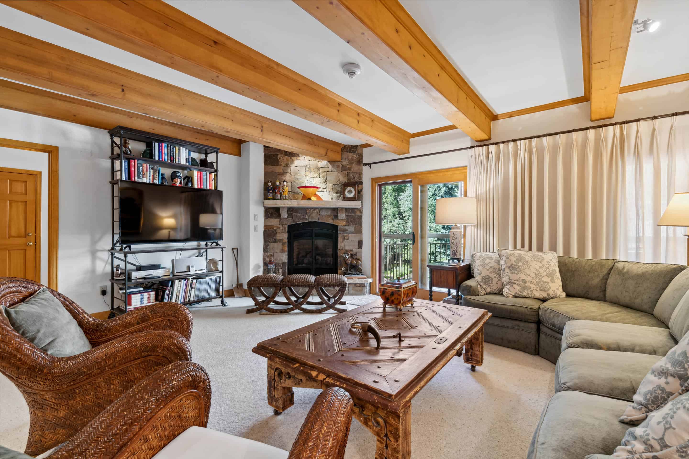
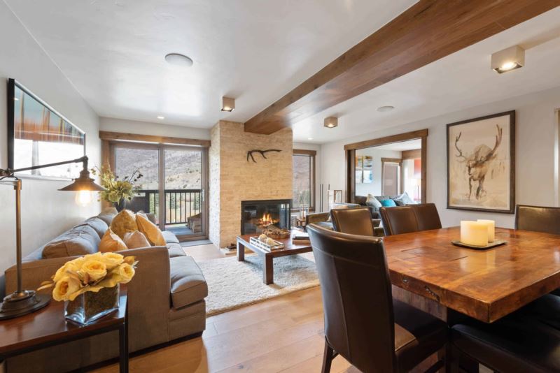
Featured Vail Stays


A dedicated concierge team
Whether you’re envisioning an adventurous, rejuvenating, or romantic Vail getaway, our concierge team is here to help. Let us assist in creating an itinerary that will make your vacation truly memorable. From day excursions to dinner reservations, transportation, childcare services and so much more.
Already booked your trip? Let us help you plan the details to create the perfect vacation.
Activities & Events in Vail

December
-
Vail Film Festival
-
New Years Eve Torchlight Parade & Fireworks

January
-
10th Mountain Legacy Parade

February
-
10th Mountain Legacy Parade

March
-
10th Mountain Legacy Parade

April
-
Mountain Closing Day
-
Taste of Vail Food & Wine Festival

May
-
Vail Comedy Festival

June
-
Summer Mountain Games
-
Bravo! Vail
-
Gondola Rides & Downhill Biking
-
Sunday Farmers Market & Artisan Show
ZachMahone")
July
-
America Days
-
Bravo! Vail
-
Vail Dance Festival
-
Sunday Farmers Market & Artisan Show

August
-
Vail Dance Festival
-
Sunday Farmers Market & Artisan Show
-
Vail Jazz Festival

SEPTEMBER
-
Oktoberfest
-
Sunday Farmers Market & Artisan Show

October
-
Sunday Farmers Market & Artisan Show

November
-
Vail Mountain Open Day